Metashape
Process digital images and generate 3D spatial data. Fast and highly accurate.
Ce fichier n'est pas hébergé sur MirrorNest — voir d'où vient notre logiciel pour savoir pourquoi. Le bouton ci-dessus mène directement à l'éditeur officiel.
À propos
Metashape is a stand-alone Windows software product for photogrammetric processing of digital images. It converts image-based information into 3D spatial data. The resulting data is intended for use in GIS applications, cultural heritage documentation, and visual effects work.
Its main function is the analysis and processing of digital photographs through photogrammetry. The software focuses on producing three-dimensional spatial results rather than serving only as an image viewer or editor. This makes it relevant when images need to support geographic, documentation, or visual production tasks.
Metashape is suited to users working with GIS projects, cultural heritage records, or VFX-related material. In a GIS context, its output can contribute to spatial data workflows. For cultural heritage and visual effects, the same image-processing approach can support the creation of three-dimensional representations from photographed subjects or environments.
The product is listed for Windows, so the platform is an important consideration before downloading it. MirrorNest links directly to the official release instead of hosting or mirroring the software itself. The license information is unknown, so readers should consult the official release information for the applicable licensing terms.
Architecture : x64
Est-ce que ça fonctionne toujours pour vous ?
Avis
Pas encore d'avis — soyez le premier.
Plus dans Outils système
Vantage
Vantage
Rufus
A utility that helps format and create bootable USB flash drives, such as USB keys/pendrives, memory sticks, etc.
Adobe Acrobat Reader (32-bit)
The free global standard for reliably viewing, printing, signing, and commenting on PDF documents.
DoseResponse
The Dose Response Module extends LabChart to provide dose response curves and analysis from recorded LabChart data. The results can also be exported to applications, such as GraphPad Prism, if required.
UltimateSoftwareV2
Software to control various 8BitDo devices.
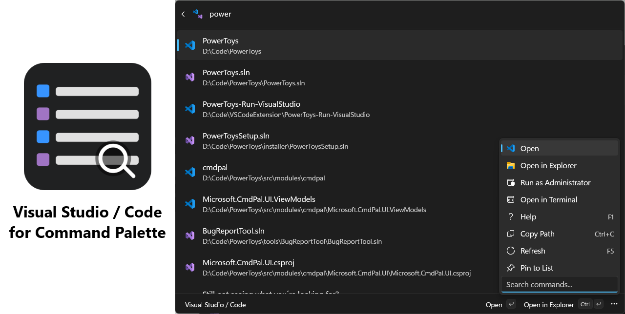
Visual Studio / Code for Command Palette
Quickly browse and open your Visual Studio solutions and Visual Studio Code workspaces from a single, unified interface.